Each map style (bubble, shape, and heat) support several different map types which affect the look and feel of the map. The default map type is the flat map; other map types can be selected to show topology, streets, satellite view, and more.
Change Map Type
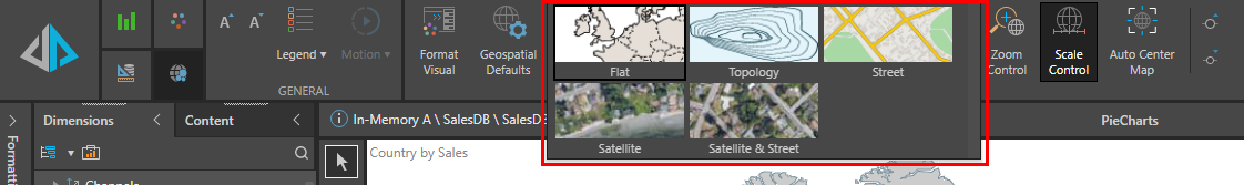
The map type can be changed from both the Formatting panel, and from the Component ribbon.
Formatting Panel
To change the map type from the Formatting panel, go to the map's Settings tab. Open the Map Type drop-down and select the required type (green highlight below).
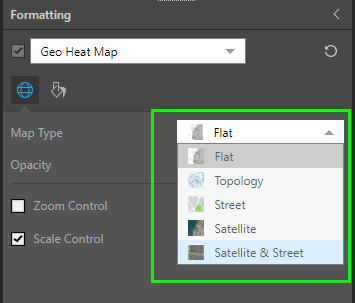
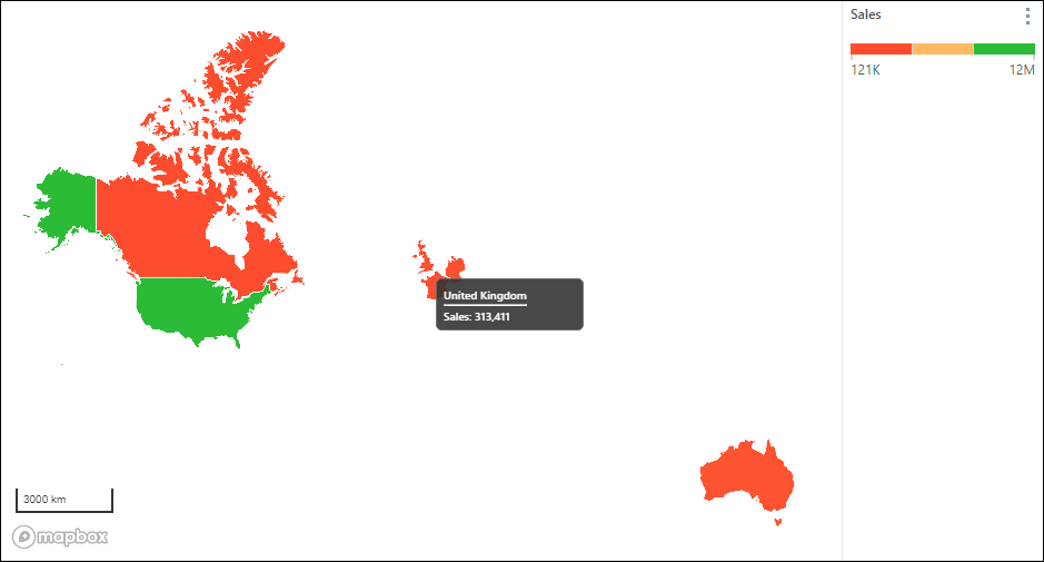
Bubble maps and geo heat maps (see image above) support the following map types (continue reading for examples):
- Flat
- Topology
- Street
- Satellite
- Satellite & Street
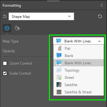
Shape maps (see image above) support the following map types:
- Flat
- Blank
- Blank with Lines
- Topology
- Street
- Satellite
- Satellite & Street
Component Ribbon
Map type can also be set from the Component ribbon (red highlight below):
Map Types
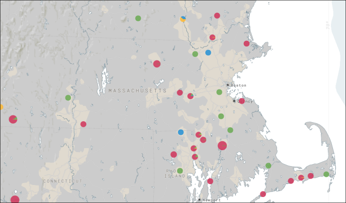
Flat Map (default)
Plotted cities on a Flat Map.
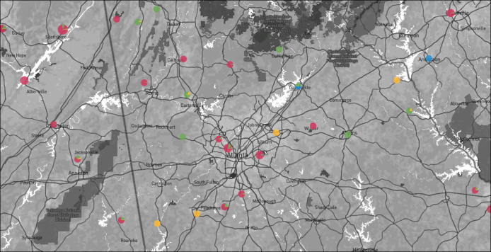
Topology Map
Plotted counties on a Topology Map.
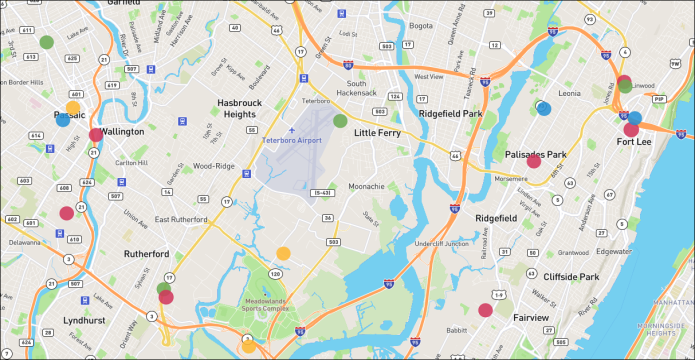
Street Map
Plotted addresses on a Street Map.
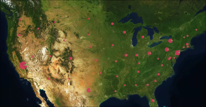
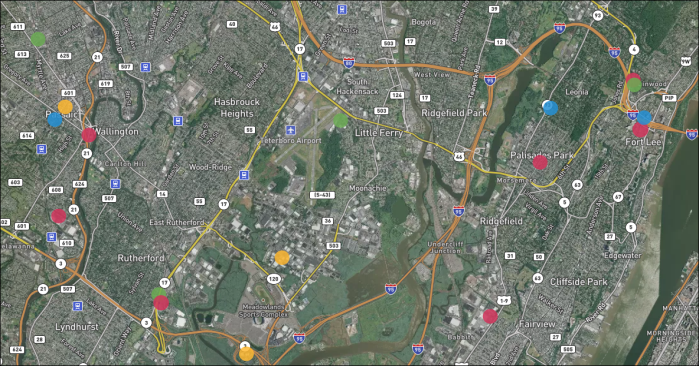
Satellite Map
Plotted states on a Satellite Map.
Satellite & Street Map
Plotted addresses on a Satellite & Street Map.
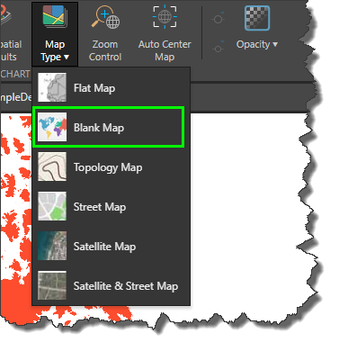
Blank Map
The lank map is only available for shape maps. When working with shape maps, the blank map will be exposed in the Map Type menu:
The blank map only displays shapes for which there is data. As with all shape maps, data labels are enabled by default to show values; you can also show vales, percentages and captions, or disable data labels.